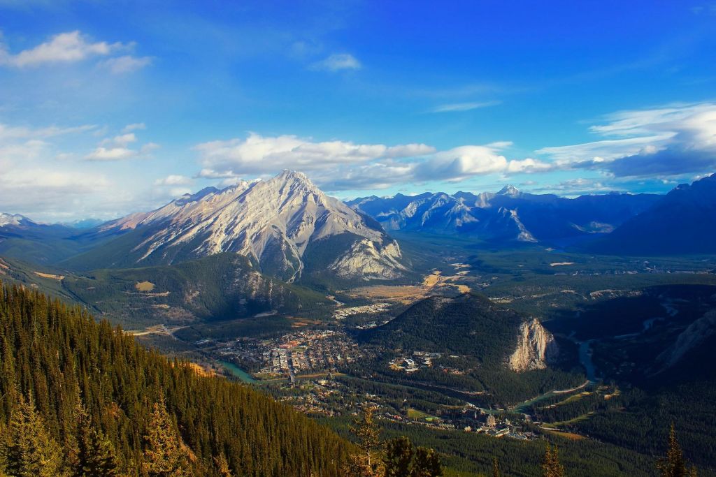
Alberta is a province in Canada. It is a part of Western Canada and is one of the three prairie provinces. Alberta is bordered by British Columbia to its west, Saskatchewan to its east, the Northwest Territories to its north, and the U.S. state of Montana to its south. Alberta and Saskatchewan are the only two landlocked Canadian provinces. The eastern part of the province is occupied by the Great Plains, while the western part borders the Rocky Mountains.
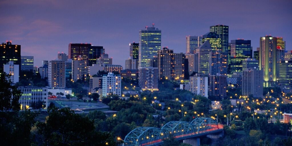
Edmonton, Alberta
Population: 1,300,000
Edmonton is the capital city of the Canadian province of Alberta. It is situated on the North Saskatchewan River and is the centre of the Edmonton Metropolitan Region, which is surrounded by Alberta’s central region, and is in Treaty 6 territory.
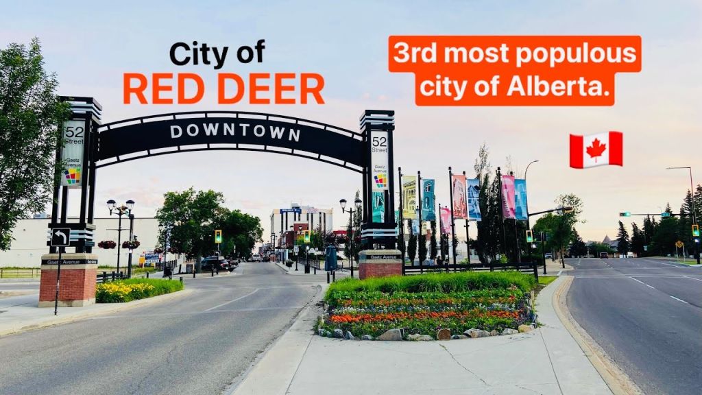
Red Deer, Alberta
Population: 100,840
Red Deer is a city in Alberta, Canada, located midway on the Calgary–Edmonton Corridor. Red Deer serves central Alberta, and its key industries include health care, retail trade, construction, oil and gas, hospitality, manufacturing and education. It is surrounded by Red Deer County and borders on Lacombe County. The city is in aspen parkland, a region of rolling hills, alongside the Red Deer River.
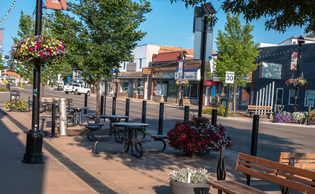
Leduc, Alberta
Population: 34,094
Leduc is a city in the province of Alberta, Canada. It is 33 km (21 mi) south of the provincial capital of Edmonton and is part of the Edmonton Metropolitan Region.
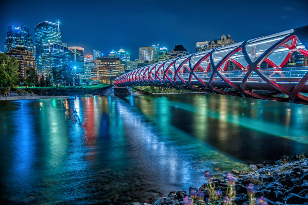
Calgary, Alberta
Population: 1,3o6,784
Calgary is a city in the Canadian province of Alberta. As of 2021, the city proper had a population of 1,306,784 and a metropolitan population of 1,481,806 making it the third-largest city and fifth-largest metropolitan area in Canada.
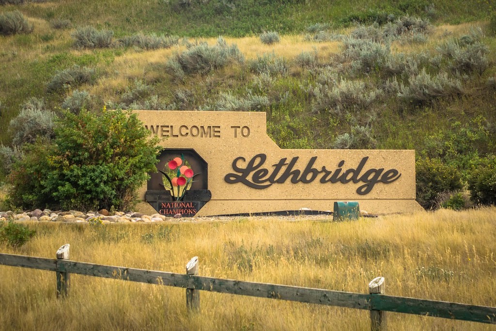
Lethbridge, Alberta
Population: 106,550
Lethbridge is a city in the province of Alberta, Canada. With a population of 106,550 in the 2023 municipal census, Lethbridge became the fourth Alberta city to surpass 100,000 people. The nearby Canadian Rocky Mountains contribute to the city’s warm summers, mild winters, and windy climate. Lethbridge lies approximately 215 km southeast of Calgary on the Oldman River and 105 km northwest of the Canada–United States border at the Sweetgrass–Coutts Border Crossing.
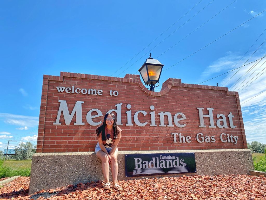
Medicine Hat, Alberta
Population: 67,909
Medicine Hat is a city in southeast Alberta, Canada. It is located along the South Saskatchewan River. It is approximately 169 km (105 mi) east of Lethbridge and 295 km (183 mi) southeast of Calgary. This city and the adjacent Town of Redcliff to the northwest are within Cypress County. Medicine Hat was the eight-largest city in Alberta in 2021 with a population of 63,271. It is also the sunniest place in Canada according to Environment and Climate Change Canada, averaging 2,544 hours of sunshine a year.
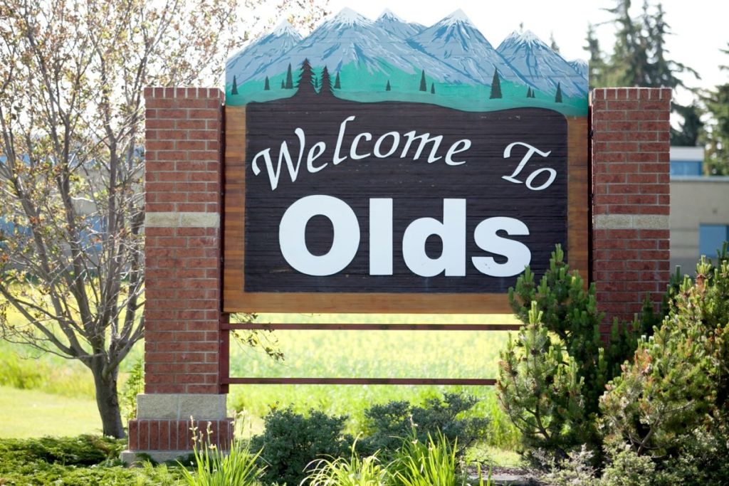
Olds, Alberta
Population: 9,209
Olds a town in central Alberta, Canada within Mountain View County and the Calgary – Edmonton Corridor. It is approximately 61 km (38 mi) south of Red Deer and 90 km (56 mi) north of Calgary. The nearest towns are Didsbury to the south, Bowden to the north, Sundre to the west and Three Hills to the east. Olds is located at the intersection of Highway 27 and Highway 2A, 5 km (3.1 mi) west of the Queen Elizabeth 11 Highway. The Canadain Pacific Kansas City’s main Edmonton-Calgary line runs through it.
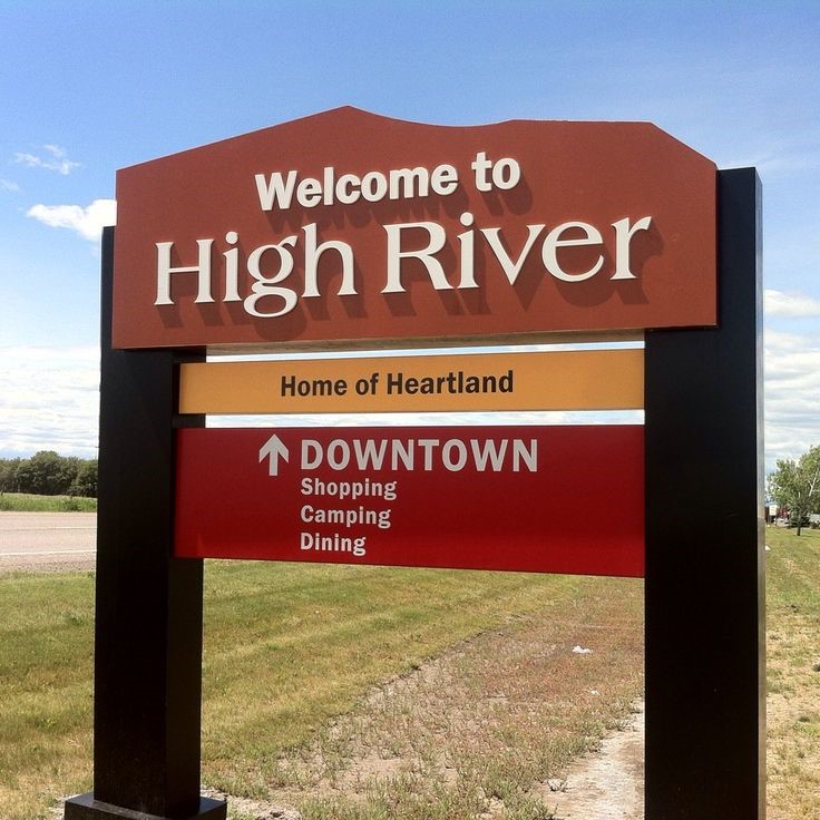
High River, Alberta
Population: 14,324
High River is a town within the Calgary Metropolitan Region of Alberta, Canada. It is approximately 68 kilometres (42 mi) south of Calgary, at the junction of Alberta Highways 2 and 23. High River had a population of 14,324 in 2021.
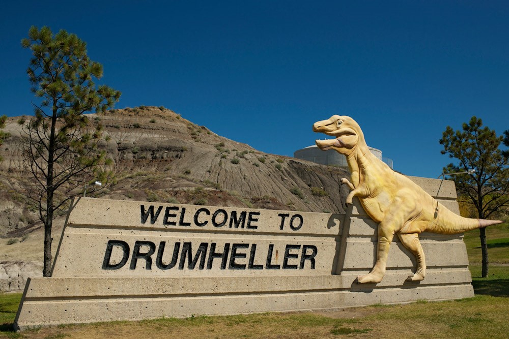
Drumheller, Alberta
Population: 7,909
Drumheller was once the largest coal producing city in Western Canada, with the Atlas Coal Mine. Now, coal mining has been replaced by natural gas and oil. Drumheller has Alberta’s second largest natural gas field, the West Drumheller Field. However, Drumheller is planning to transition away from fossil fuels and emphasize renewable energy sources, such as wind power, in its economy.
Currently, tourism is Drumheller’s main industry. A federal prison and regional medical complex also contribute to the economy. Agriculture is also quite important.
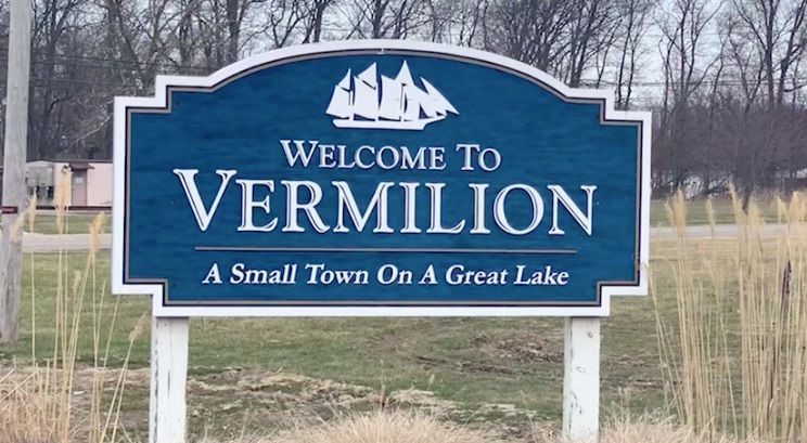
Vermillion, Alberta
Population: 4,132
Vermillion is a town in central Alberta, Canada that is surrounded by the County of Vermillion River. It is at the intersection of Highway 16 (Yellowhead Highway and Highway 41 (Buffalo Trail), approximately 60 kilometres (37 mi) west of Lloydminster and 192 kilometres (119 mi) east of Edmonton.
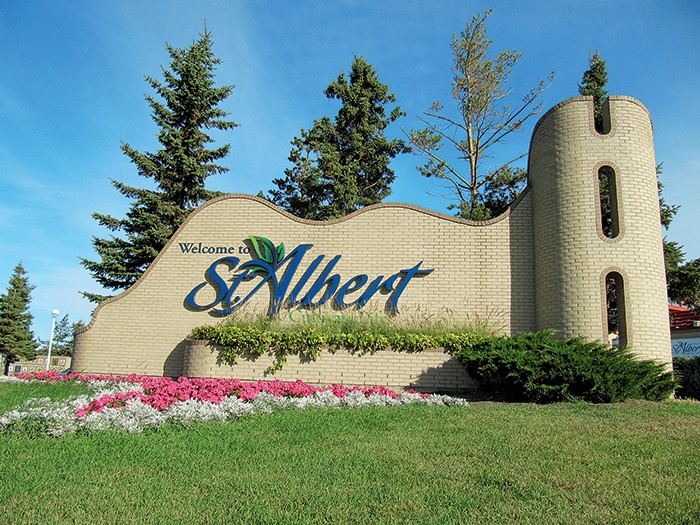
St. Albert, Alberta
Population: 68,232
St. Albert is a city in Alberta, Canada, next to the Sturgeon River, northwest of the City of Edmonton, the provincial capital. It was originally settled as a Métis community, and is now the second-largest city in the Edmonton Metropolitan Region. St. Albert first received its town status in 1904 and was reached by the Canadian Northern Railway in 1906. Originally separated from Edmonton by several miles of farmland, the 1980s expansion of Edmonton’s city limits placed St. Albert immediately adjacent to the larger city on St. Albert’s southern and eastern sides.
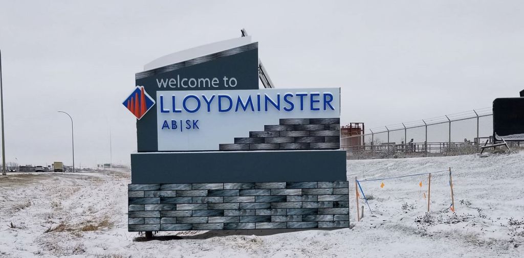
Lloydminster, Alberta
Population: 31,580
Lloydminster is a city in Canada which has the unusual geographic distinction of straddling the provincial border between Alberta and Saskatchewan. The city is incorporated by both provinces as a single city with a single municipal administration.